


0
Ascents

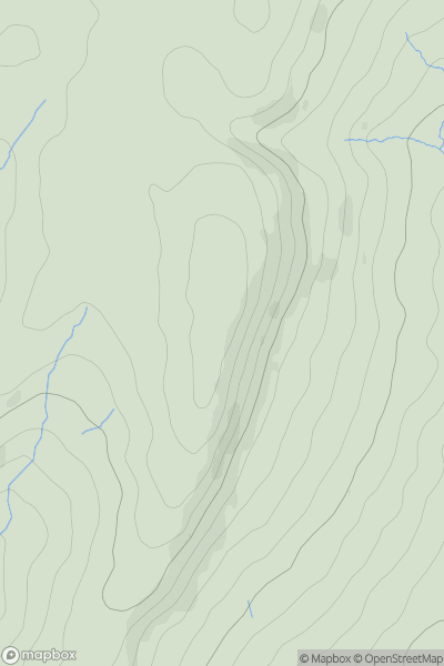
 Lancashire, Cheshire and S Pennines
 0
0 549.0
549.0User Activity
No recent Activity
0
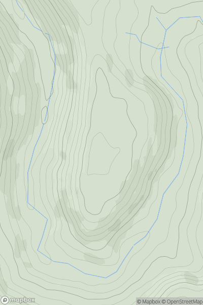
Ascents
Welsh Borders S
0
162.6User Activity
No recent Activity

0
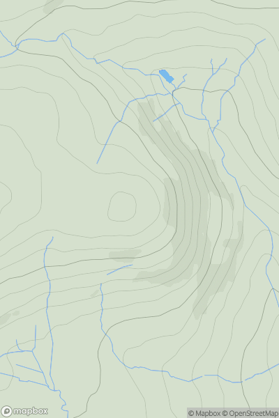
Ascents
South West England
0
151.0User Activity
No recent Activity
.png)
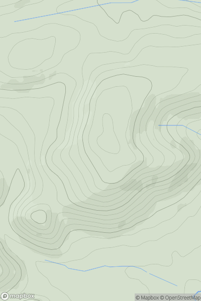
0
Ascents
Lancashire, Cheshire and S Pennines
0
459.0User Activity
No recent Activity
0
Ascents
Lake District S
0
331.0User Activity
No recent Activity
0
Ascents
Welsh Borders S
0
312.0User Activity
No recent Activity