

.png)


0
Ascents

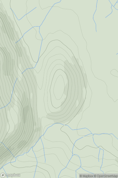
 Lake District N
 0
0 610.1
610.1User Activity
No recent Activity
0
Ascents
Lake District N
0
172.0User Activity
No recent Activity
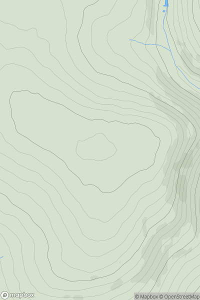
![Thumbnail image for Harrop Edge [Lancashire, Cheshire and S Pennines] [SE096347] showing contour plot for surrounding peak](/static/img/mountains_img_db/16647_Harrop_Edge_[Lancashire,_Cheshire_and_S_Pennines]_[SE096347].png)
0
Ascents
Lancashire, Cheshire and S Pennines
0
306.0User Activity
No recent Activity
).png)
0
Ascents
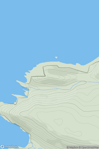
Lake District S
0
360.8User Activity
No recent Activity
0
Ascents
South West England
0
103.0User Activity
No recent Activity
0
Ascents
South West England
0
413.6User Activity
No recent Activity