

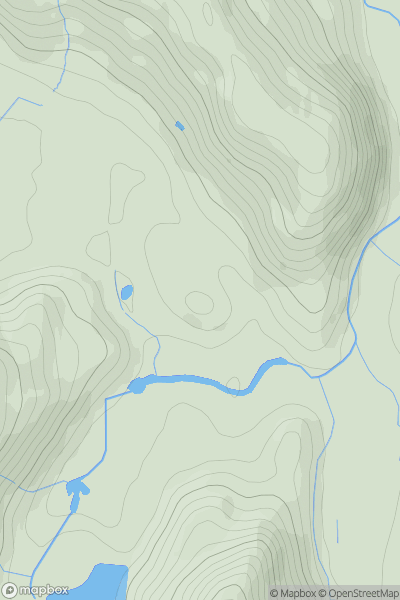
![Thumbnail image for Church Hill [The River Tees to The Wash] showing contour plot for surrounding peak](/static/img/mountains_img_db/16954_Church_Hill_[The_River_Tees_to_The_Wash].png)


0
Ascents

 The River Tees to The Wash
 0
0 46.8
46.8User Activity
No recent Activity
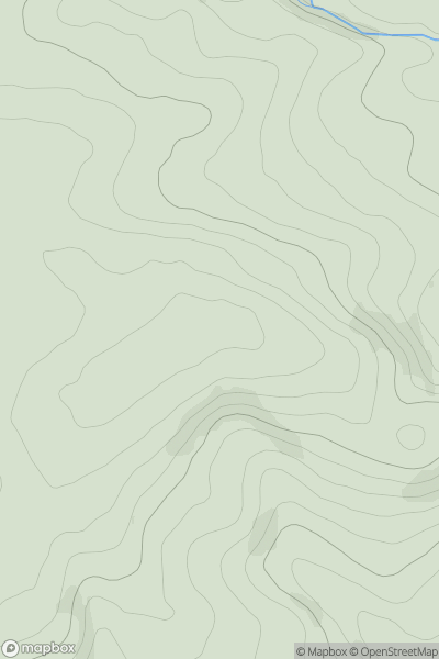
![Thumbnail image for Green Hill [South East England] showing contour plot for surrounding peak](/static/img/mountains_img_db/18480_Green_Hill_[South_East_England].png)
0
Ascents
South East England
0
161.0User Activity
No recent Activity
0
Ascents
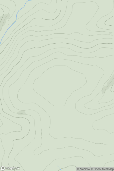
Lake District C&W
0
207.0User Activity
No recent Activity
0
Ascents
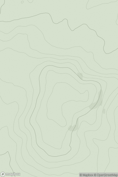
South West England
0
146.1User Activity
No recent Activity
0
Ascents
South West England
0
199.0User Activity
No recent Activity
0
Ascents
South Central England
0
223.0User Activity
No recent Activity