


0
Ascents

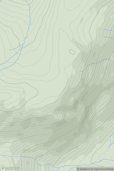
 Lake District E
 0
0 551.0
551.0User Activity
No recent Activity
0
Ascents
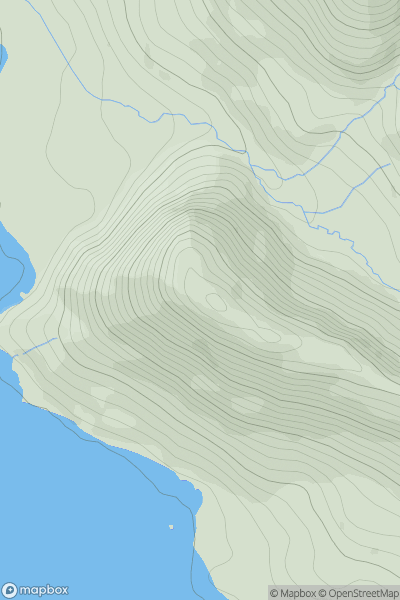
Lake District C&W
0
355.0User Activity
No recent Activity
0
Ascents
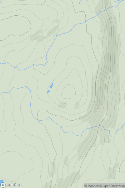
Lake District S
0
201.0User Activity
No recent Activity
0
Ascents
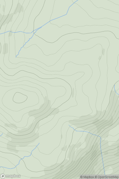
Lake District S
0
371.0User Activity
No recent Activity
0
Ascents
Northumberland
0
558.0User Activity
No recent Activity
0
Ascents
South West England
0
66.0User Activity
No recent Activity