


0
Ascents

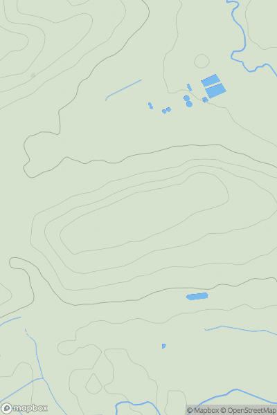
 South West England
 0
0 91.0
91.0User Activity
No recent Activity
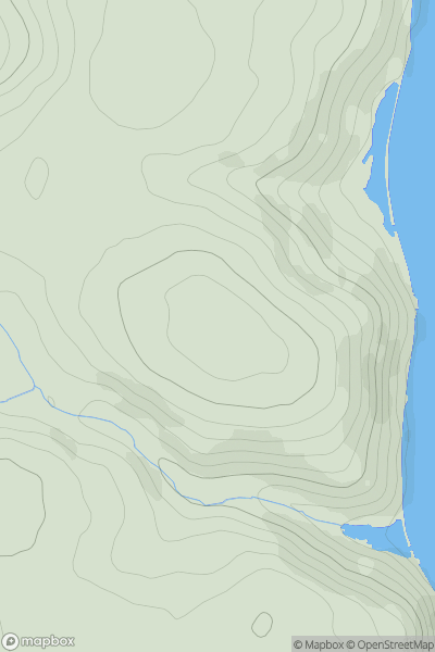
![Thumbnail image for Langdon Hill [South Central England] showing contour plot for surrounding peak](/static/img/mountains_img_db/18137_Langdon_Hill_[South_Central_England].png)
0
Ascents
South Central England
0
177.0User Activity
No recent Activity
0
Ascents
South West England
0
119.0User Activity
No recent Activity
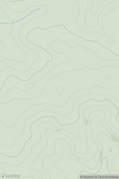
0
Ascents
South West England
0
149.0User Activity
No recent Activity
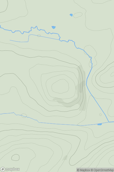
![Thumbnail image for Castle How [Lake District N] [NY201308] showing contour plot for surrounding peak](/static/img/mountains_img_db/19629_Castle_How_[Lake_District_N]_[NY201308].png)
0
Ascents
Lake District N
0
102.6User Activity
No recent Activity
0
Ascents
South West England
0
183.0User Activity
No recent Activity