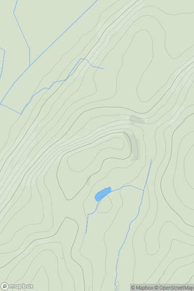
Ariel drone view of mountainous landscape with rolling clouds flowing over peak

Journal your hikes and share your adventures.

Bag peaks across the UK & Ireland, track your progress and see updates from Donder's growing community of hikers.

Donder's profile view available to users after sign-up, shows example user with progress tracking, hiking journal and user leaderboard

Thumbnail image for Lowscales Bank showing contour plot for surrounding peak
ENG
Icon of location pin
173m
Icon of vertical, double ended, arrow to symbolise height of mountain

Lowscales Bank

Icon of mountain used to symbolise the number of ascents made by users

0
Ascents

Thumbnail image for Cuck Hill showing contour plot for surrounding peak
ENG
Icon of location pin
249m
Icon of vertical, double ended, arrow to symbolise height of mountain

Cuck Hill

Icon of mountain used to symbolise the number of ascents made by users

0
Ascents

Thumbnail image for Golden Cap showing contour plot for surrounding peak
ENG
Icon of location pin
191m
Icon of vertical, double ended, arrow to symbolise height of mountain

Golden Cap

Icon of mountain used to symbolise the number of ascents made by users

0
Ascents

Thumbnail image for Outer Edge showing contour plot for surrounding peak
ENG
Icon of location pin
541m
Icon of vertical, double ended, arrow to symbolise height of mountain

Outer Edge

Icon of mountain used to symbolise the number of ascents made by users

0
Ascents

Thumbnail image for Plough Fell showing contour plot for surrounding peak
ENG
Icon of location pin
448m
Icon of vertical, double ended, arrow to symbolise height of mountain

Plough Fell

Icon of mountain used to symbolise the number of ascents made by users

0
Ascents

Thumbnail image for Ditchling Beacon showing contour plot for surrounding peak
ENG
Icon of location pin
248m
Icon of vertical, double ended, arrow to symbolise height of mountain

Ditchling Beacon

Icon of mountain used to symbolise the number of ascents made by users

0
Ascents