


0
Ascents

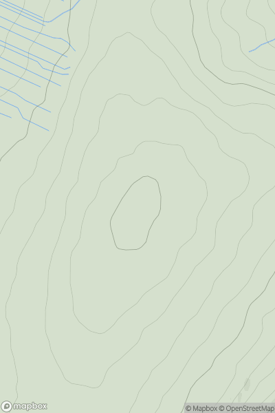
 North Pennines
 0
0 710.0
710.0User Activity
No recent Activity
0
Ascents
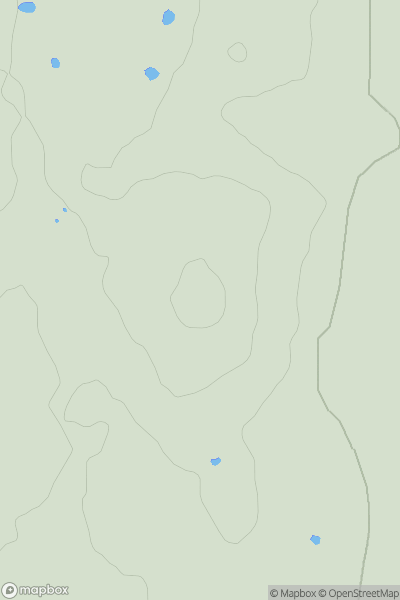
Lancashire, Cheshire and S Pennines
0
35.9User Activity
No recent Activity
0
Ascents
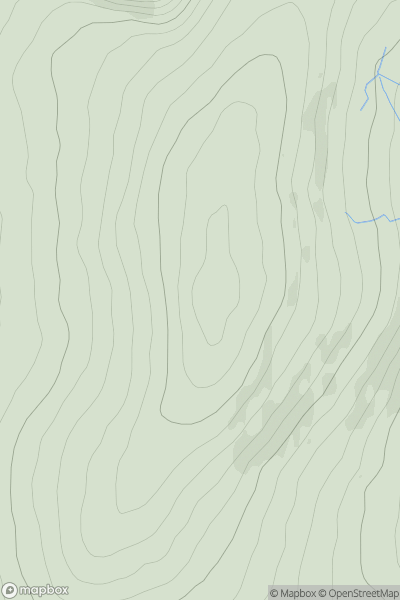
Shropshire
0
536.9User Activity
No recent Activity
0
Ascents
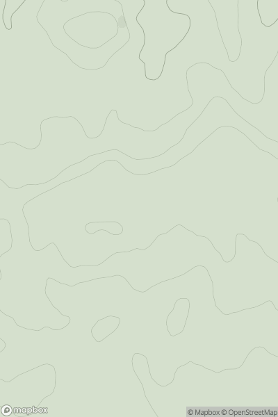
South Central England
0
88.0User Activity
No recent Activity
0
Ascents
Central and Eastern England
0
160.9User Activity
No recent Activity
0
Ascents
Northumberland
0
132.7User Activity
No recent Activity