


0
Ascents

 South East England
 0
0 132.0
132.0User Activity
No recent Activity
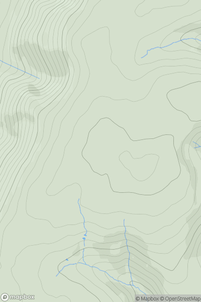
_(Tinker's_Hill).png)
0
Ascents
Central and Eastern England
0
155.0User Activity
No recent Activity
0
Ascents
Central and Eastern England
0
106.0User Activity
No recent Activity
0
Ascents
Lancashire, Cheshire and S Pennines
0
213.0User Activity
No recent Activity
0
Ascents
The River Tees to The Wash
0
165.9User Activity
No recent Activity
0
Ascents
Shropshire
0
457.5User Activity
No recent Activity