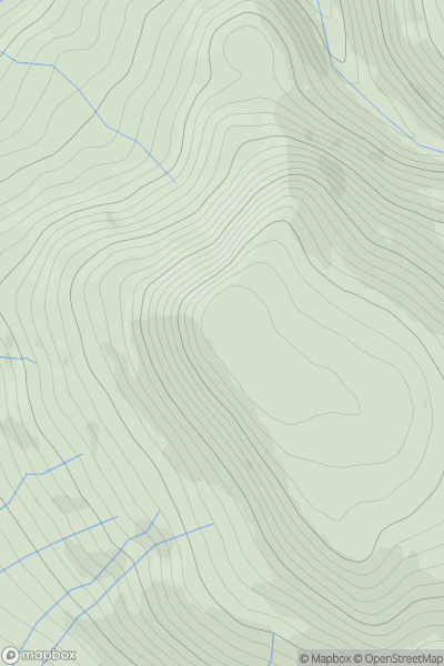
Ariel drone view of mountainous landscape with rolling clouds flowing over peak

Journal your hikes and share your adventures.

Bag peaks across the UK & Ireland, track your progress and see updates from Donder's growing community of hikers.

Donder's profile view available to users after sign-up, shows example user with progress tracking, hiking journal and user leaderboard

Thumbnail image for Roman Fell showing contour plot for surrounding peak
ENG
Icon of location pin
594m
Icon of vertical, double ended, arrow to symbolise height of mountain

Roman Fell

Icon of mountain used to symbolise the number of ascents made by users

0
Ascents

Thumbnail image for Hollacombe Hill showing contour plot for surrounding peak
ENG
Icon of location pin
202m
Icon of vertical, double ended, arrow to symbolise height of mountain

Hollacombe Hill

Icon of mountain used to symbolise the number of ascents made by users

0
Ascents

Thumbnail image for The Tongue showing contour plot for surrounding peak
ENG
Icon of location pin
553m
Icon of vertical, double ended, arrow to symbolise height of mountain

The Tongue

Icon of mountain used to symbolise the number of ascents made by users

0
Ascents

Thumbnail image for Rowan Tree Hill showing contour plot for surrounding peak
ENG
Icon of location pin
212m
Icon of vertical, double ended, arrow to symbolise height of mountain

Rowan Tree Hill

Icon of mountain used to symbolise the number of ascents made by users

0
Ascents

Thumbnail image for Morebath Hill showing contour plot for surrounding peak
ENG
Icon of location pin
199m
Icon of vertical, double ended, arrow to symbolise height of mountain

Morebath Hill

Icon of mountain used to symbolise the number of ascents made by users

0
Ascents

Thumbnail image for Dead Edge End showing contour plot for surrounding peak
ENG
Icon of location pin
499m
Icon of vertical, double ended, arrow to symbolise height of mountain

Dead Edge End

Icon of mountain used to symbolise the number of ascents made by users

0
Ascents