


0
Ascents

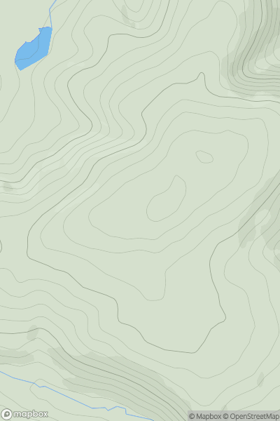
 Welsh Borders S
 0
0 334.5
334.5User Activity
No recent Activity
0
Ascents
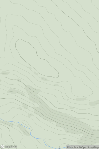
Lancashire, Cheshire and S Pennines
0
359.0User Activity
No recent Activity
0
Ascents
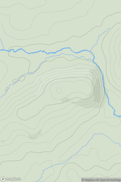
South West England
0
127.0User Activity
No recent Activity
0
Ascents
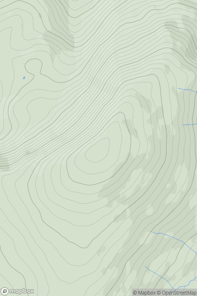
Lake District E
0
726.0User Activity
No recent Activity
0
Ascents
Lake District C&W
0
439.0User Activity
No recent Activity
0
Ascents
Central and Eastern England
0
232.0User Activity
No recent Activity