


0
Ascents

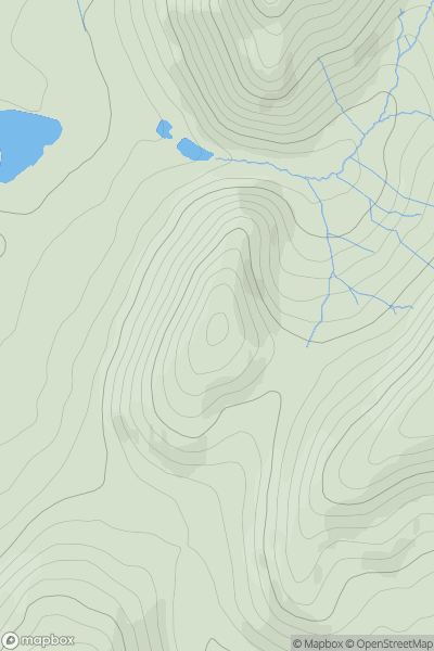
 Shropshire
 0
0 344.0
344.0User Activity
No recent Activity
0
Ascents
South West England
0
152.0User Activity
No recent Activity
0
Ascents
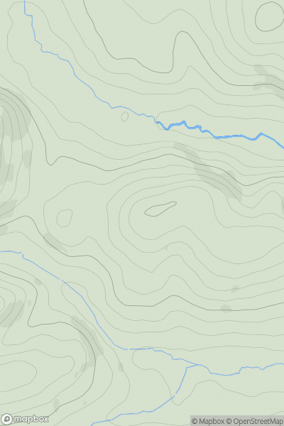
Lake District E
0
388.0User Activity
No recent Activity
0
Ascents
South East England
0
165.0User Activity
No recent Activity
0
Ascents
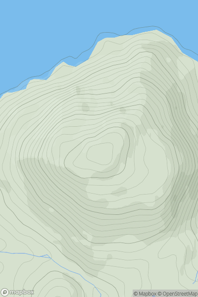
Lancashire, Cheshire and S Pennines
0
407.8User Activity
No recent Activity
0
Ascents
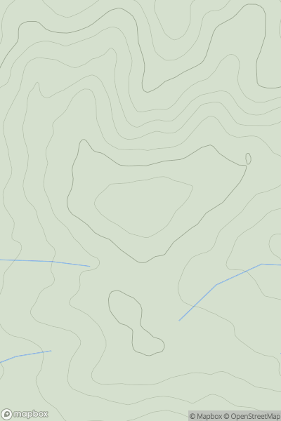
Lancashire, Cheshire and S Pennines
0
172.0User Activity
No recent Activity