


0
Ascents

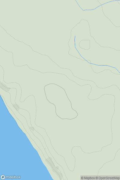
 Lake District S
 0
0 55.4
55.4User Activity
No recent Activity
0
Ascents
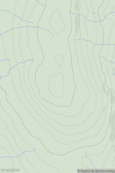
North Pennines
0
666.6User Activity
No recent Activity
0
Ascents
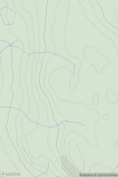
Lake District N
0
332.0User Activity
No recent Activity
0
Ascents
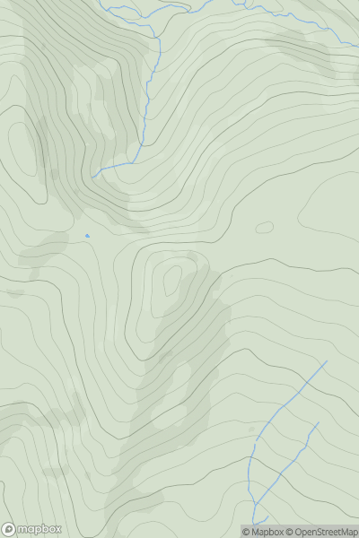
Lancashire, Cheshire and S Pennines
0
494.0User Activity
No recent Activity
.png)
0
Ascents
Lancashire, Cheshire and S Pennines
0
550.0User Activity
No recent Activity
0
Ascents
Shropshire
0
127.8User Activity
No recent Activity