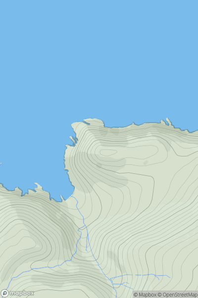
Ariel drone view of mountainous landscape with rolling clouds flowing over peak

Journal your hikes and share your adventures.

Bag peaks across the UK & Ireland, track your progress and see updates from Donder's growing community of hikers.

Donder's profile view available to users after sign-up, shows example user with progress tracking, hiking journal and user leaderboard

Thumbnail image for Burley Moor showing contour plot for surrounding peak
ENG
Icon of location pin
342m
Icon of vertical, double ended, arrow to symbolise height of mountain

Burley Moor

Icon of mountain used to symbolise the number of ascents made by users

0
Ascents

Thumbnail image for The Balls showing contour plot for surrounding peak
ENG
Icon of location pin
146m
Icon of vertical, double ended, arrow to symbolise height of mountain

The Balls

Icon of mountain used to symbolise the number of ascents made by users

0
Ascents

Thumbnail image for Winders Hill showing contour plot for surrounding peak
ENG
Icon of location pin
236m
Icon of vertical, double ended, arrow to symbolise height of mountain

Winders Hill

Icon of mountain used to symbolise the number of ascents made by users

0
Ascents

Thumbnail image for Crooksbury Hill showing contour plot for surrounding peak
ENG
Icon of location pin
163m
Icon of vertical, double ended, arrow to symbolise height of mountain

Crooksbury Hill

Icon of mountain used to symbolise the number of ascents made by users

0
Ascents

Thumbnail image for Colne Bar showing contour plot for surrounding peak
ENG
Icon of location pin
3m
Icon of vertical, double ended, arrow to symbolise height of mountain

Colne Bar

Icon of mountain used to symbolise the number of ascents made by users

0
Ascents

Thumbnail image for Spy Hill showing contour plot for surrounding peak
ENG
Icon of location pin
99m
Icon of vertical, double ended, arrow to symbolise height of mountain

Spy Hill

Icon of mountain used to symbolise the number of ascents made by users

0
Ascents