


0
Ascents

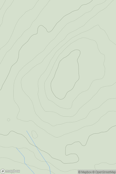
 Central and Eastern England
 0
0 179.1
179.1User Activity
No recent Activity
0
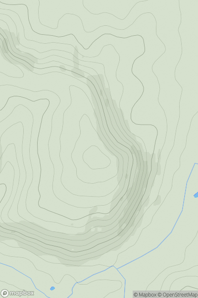
Ascents
Lake District E
0
666.0User Activity
No recent Activity
0
Ascents
Lake District E
0
311.0User Activity
No recent Activity
0
Ascents
South West England
0
247.3User Activity
No recent Activity
0
Ascents
Northumberland
0
513.0User Activity
No recent Activity
0
Ascents
Welsh Borders S
0
177.0User Activity
No recent Activity