


0
Ascents

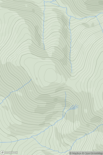
 North Pennines
 0
0 498.8
498.8User Activity
No recent Activity
0
Ascents
South West England
0
200.0User Activity
No recent Activity
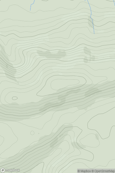
0
Ascents
Welsh Borders S
0
363.0User Activity
No recent Activity

0
Ascents
South Central England
0
292.0User Activity
No recent Activity
0
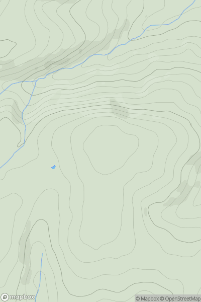
Ascents
Lake District C&W
0
608.8User Activity
No recent Activity
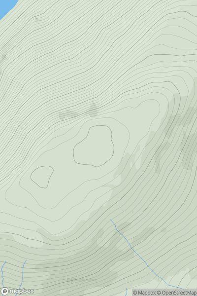
0
Ascents
Welsh Borders S
0
198.0User Activity
No recent Activity