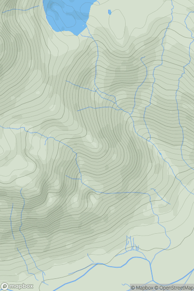
Ariel drone view of mountainous landscape with rolling clouds flowing over peak

Journal your hikes and share your adventures.

Bag peaks across the UK & Ireland, track your progress and see updates from Donder's growing community of hikers.

Donder's profile view available to users after sign-up, shows example user with progress tracking, hiking journal and user leaderboard

Thumbnail image for Pike Howe showing contour plot for surrounding peak
ENG
Icon of location pin
396m
Icon of vertical, double ended, arrow to symbolise height of mountain

Pike Howe

Icon of mountain used to symbolise the number of ascents made by users

0
Ascents

Thumbnail image for Weaver showing contour plot for surrounding peak
ENG
Icon of location pin
293m
Icon of vertical, double ended, arrow to symbolise height of mountain

Weaver

Icon of mountain used to symbolise the number of ascents made by users

0
Ascents

Thumbnail image for Hulverton Hill showing contour plot for surrounding peak
ENG
Icon of location pin
203m
Icon of vertical, double ended, arrow to symbolise height of mountain

Hulverton Hill

Icon of mountain used to symbolise the number of ascents made by users

0
Ascents

Thumbnail image for Gravelly Hill showing contour plot for surrounding peak
ENG
Icon of location pin
237m
Icon of vertical, double ended, arrow to symbolise height of mountain

Gravelly Hill

Icon of mountain used to symbolise the number of ascents made by users

0
Ascents

Thumbnail image for Scarthin Rock showing contour plot for surrounding peak
ENG
Icon of location pin
121m
Icon of vertical, double ended, arrow to symbolise height of mountain

Scarthin Rock

Icon of mountain used to symbolise the number of ascents made by users

0
Ascents

Thumbnail image for Welcombe Hill showing contour plot for surrounding peak
ENG
Icon of location pin
264m
Icon of vertical, double ended, arrow to symbolise height of mountain

Welcombe Hill

Icon of mountain used to symbolise the number of ascents made by users

0
Ascents