


0
Ascents

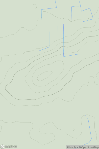
 South East England
 0
0 77.0
77.0User Activity
No recent Activity
0
Ascents
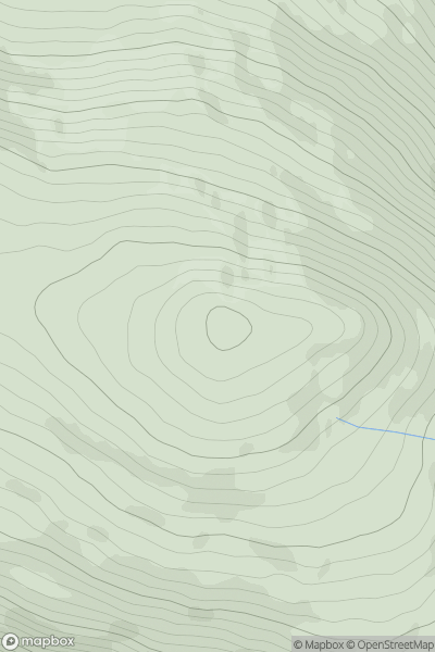
Lake District E
0
340.5User Activity
No recent Activity
0
Ascents
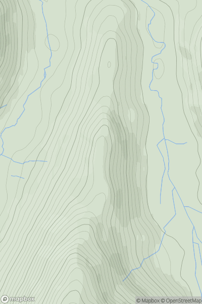
Lake District N
0
662.3User Activity
No recent Activity
0
Ascents
South East England
0
119.4User Activity
No recent Activity
0
Ascents
Welsh Borders S
0
116.0User Activity
No recent Activity
0
Ascents
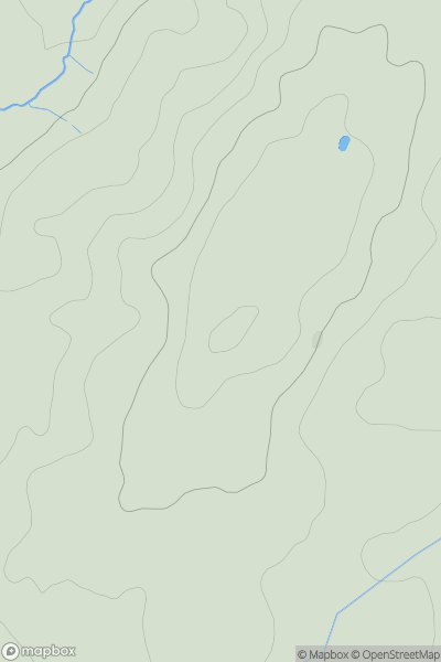
Lake District E
0
465.0User Activity
No recent Activity