


0
Ascents

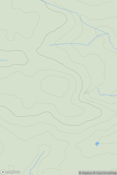
 South West England
 0
0 131.0
131.0User Activity
No recent Activity
0
Ascents
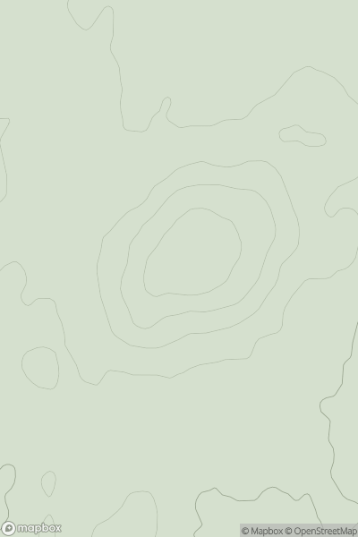
Central and Eastern England
0
196.0User Activity
No recent Activity
0
Ascents
Central and Eastern England
0
201.0User Activity
No recent Activity
0
Ascents
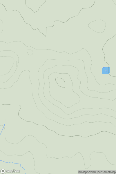
Lancashire, Cheshire and S Pennines
0
176.2User Activity
No recent Activity
0
Ascents
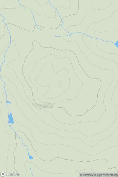
Shropshire
0
380.3User Activity
No recent Activity
0
Ascents
South Central England
0
208.0User Activity
No recent Activity