


0
Ascents

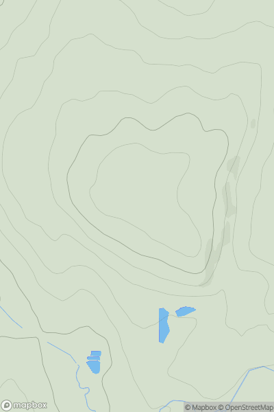
 North Pennines
 0
0 372.0
372.0User Activity
No recent Activity
0
Ascents
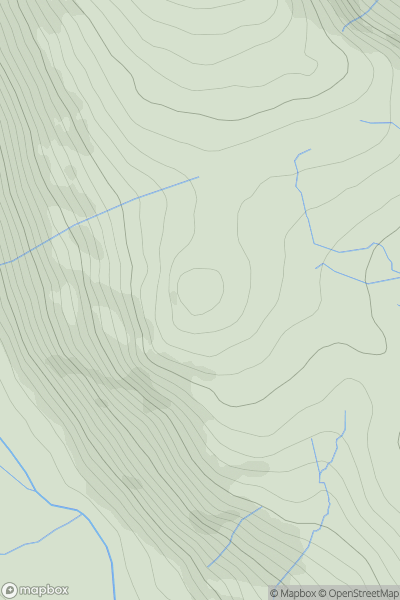
Lake District E
0
401.0User Activity
No recent Activity
![Thumbnail image for Graig Wen [Shropshire] showing contour plot for surrounding peak](/static/img/mountains_img_db/17020_Graig_Wen_[Shropshire].png)
0
Ascents
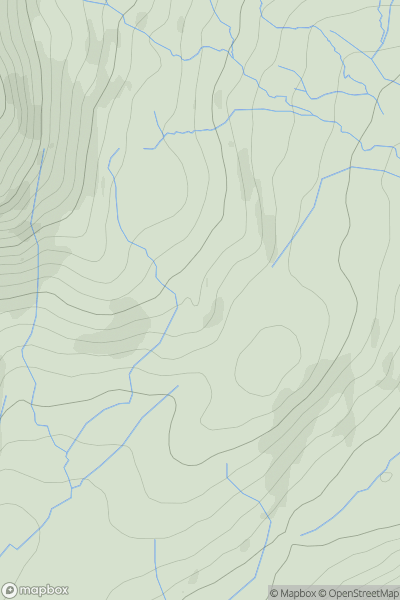
Shropshire
0
317.8User Activity
No recent Activity

0
Ascents
Central and Eastern England
0
262.0User Activity
No recent Activity
0
Ascents
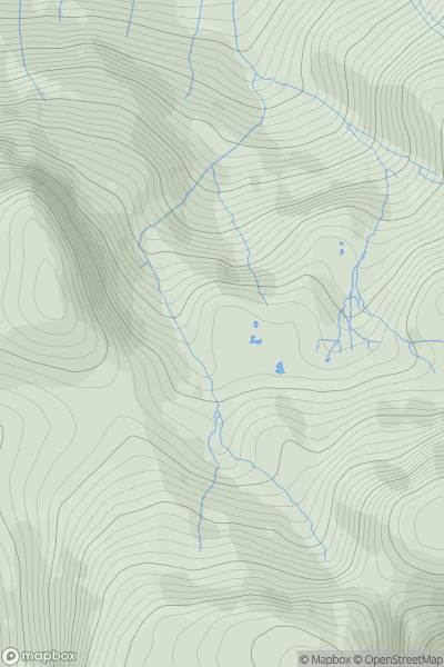
Lake District S
0
354.0User Activity
No recent Activity
0
Ascents
Lake District C&W
0
703.0User Activity
No recent Activity