


0
Ascents

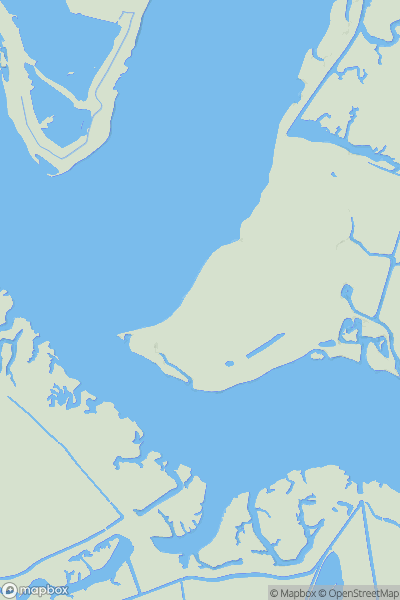
 Shropshire
 0
0 383.0
383.0User Activity
No recent Activity
0
Ascents
Central and Eastern England
0
8.0User Activity
No recent Activity
0
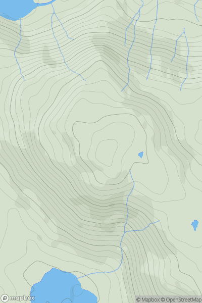
Ascents
Lake District C&W
0
335.0User Activity
No recent Activity
0
Ascents
South West England
0
130.5User Activity
No recent Activity
0
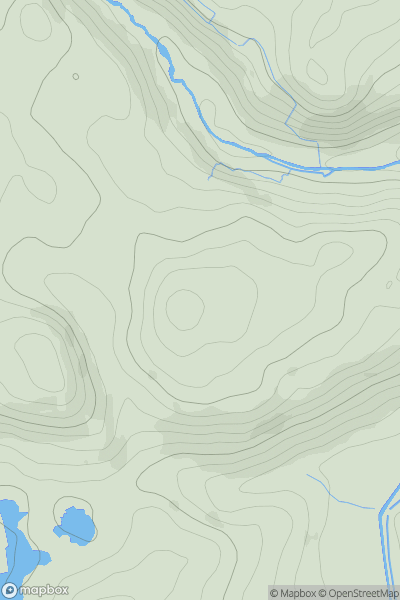
Ascents
Lake District S
0
316.0User Activity
No recent Activity
0
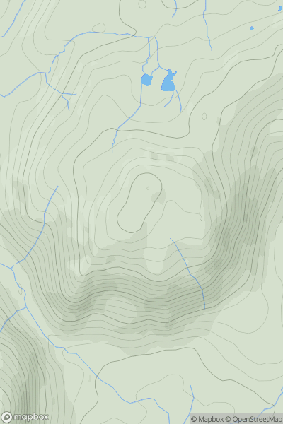
Ascents
The River Tees to The Wash
0
250.0User Activity
No recent Activity