


0
Ascents

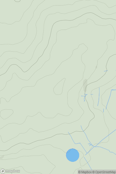
 South East England
 0
0 132.0
132.0User Activity
No recent Activity
.png)
0
Ascents
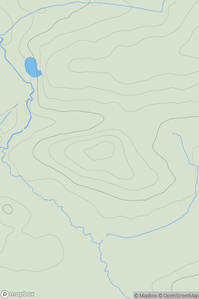
Lake District E
0
803.6User Activity
No recent Activity
0
Ascents
South West England
0
139.0User Activity
No recent Activity
0
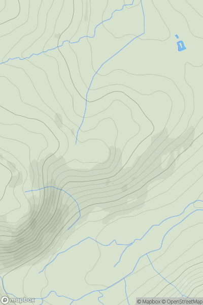
Ascents
Lake District E
0
497.0User Activity
No recent Activity
0
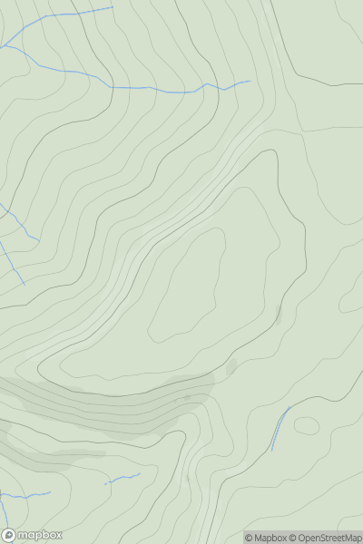
Ascents
Central and Eastern England
0
273.0User Activity
No recent Activity
0
Ascents
The River Tees to The Wash
0
147.0User Activity
No recent Activity