

.png)


0
Ascents

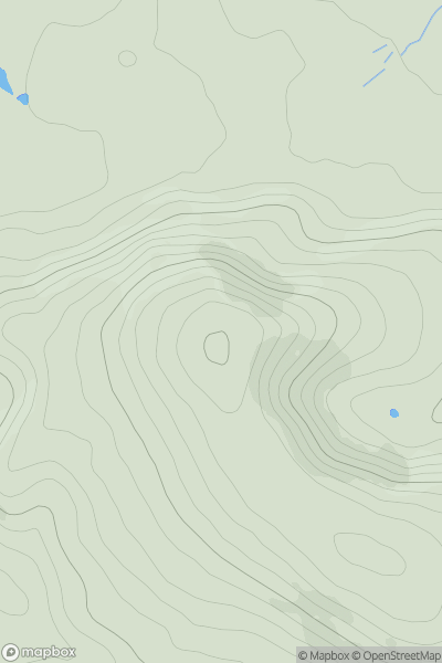
 Central Pennines
 0
0 402.0
402.0User Activity
No recent Activity
0
Ascents
South East England
0
206.0User Activity
No recent Activity
0
Ascents
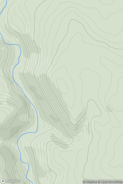
Lancashire, Cheshire and S Pennines
0
341.8User Activity
No recent Activity
0
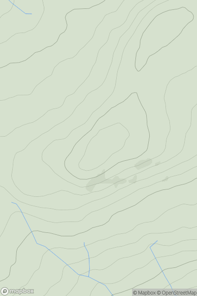
Ascents
Lancashire, Cheshire and S Pennines
0
417.0User Activity
No recent Activity
0
Ascents
South Central England
0
97.0User Activity
No recent Activity
0
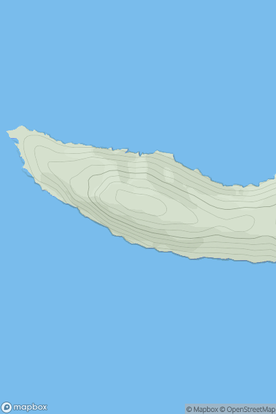
Ascents
Lake District S
0
49.0User Activity
No recent Activity