


0
Ascents

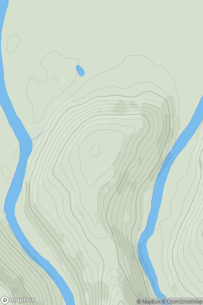
 Welsh Borders S
 0
0 144.0
144.0User Activity
No recent Activity
0
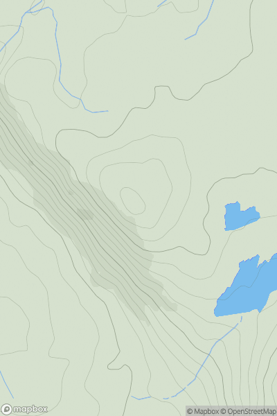
Ascents
Lake District S
0
239.0User Activity
No recent Activity
0
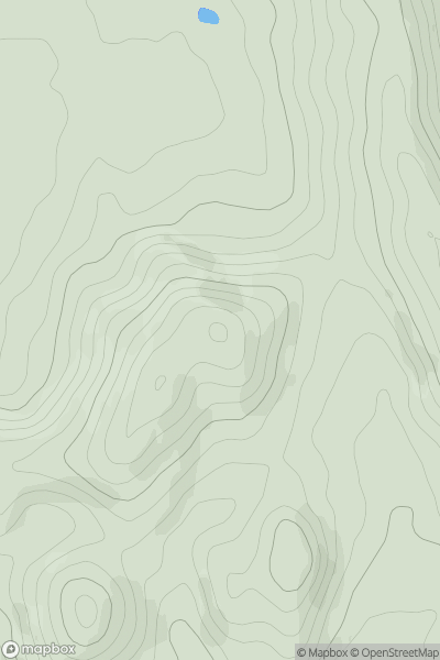
Ascents
Welsh Borders S
0
245.0User Activity
No recent Activity
0
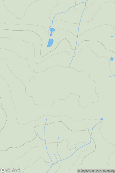
Ascents
South East England
0
125.0User Activity
No recent Activity
0
Ascents
South East England
0
203.0User Activity
No recent Activity
0
Ascents
Central and Eastern England
0
223.0User Activity
No recent Activity