


0
Ascents

 South West England
 0
0 38.0
38.0User Activity
No recent Activity
0
Ascents
Central and Eastern England
0
276.5User Activity
No recent Activity
0
Ascents
South East England
0
83.4User Activity
No recent Activity
0
Ascents
Shropshire
0
191.0User Activity
No recent Activity
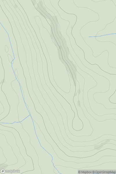
![Thumbnail image for The Knoll [Shropshire] showing contour plot for surrounding peak](/static/img/mountains_img_db/17069_The_Knoll_[Shropshire].png)
0
Ascents
Shropshire
0
253.0User Activity
No recent Activity
0
Ascents
South West England
0
123.0User Activity
No recent Activity