


0
Ascents

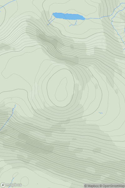
 Lake District C&W
 0
0 616.0
616.0User Activity
No recent Activity
0
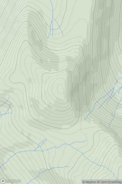
Ascents
Welsh Borders S
0
174.0User Activity
No recent Activity
0
Ascents
South West England
0
171.0User Activity
No recent Activity

0
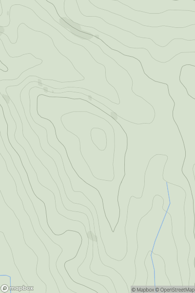
Ascents
Lake District N
0
865.0User Activity
No recent Activity
0
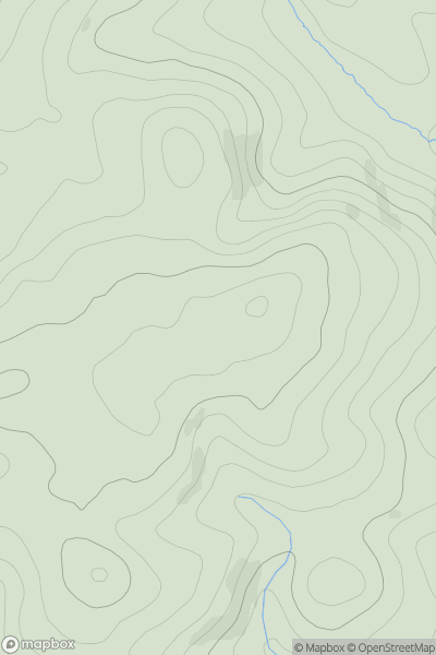
Ascents
Lake District E
0
696.0User Activity
No recent Activity
0
Ascents
South East England
0
56.9User Activity
No recent Activity