


0
Ascents

 South West England
 0
0 118.0
118.0User Activity
No recent Activity
0
Ascents
Lake District C&W
0
797.0User Activity
No recent Activity
0
Ascents
North Pennines
0
156.0User Activity
No recent Activity
0
Ascents
South East England
0
88.0User Activity
No recent Activity
0
Ascents
Lancashire, Cheshire and S Pennines
0
451.0User Activity
No recent Activity
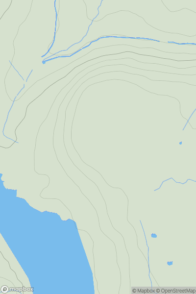
![Thumbnail image for Summerhouse Hill [Lake District S] showing contour plot for surrounding peak](/static/img/mountains_img_db/16106_Summerhouse_Hill_[Lake_District_S].png)
0
Ascents
Lake District S
0
334.0User Activity
No recent Activity