


0
Ascents

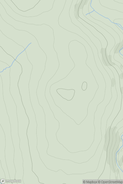
 South West England
 0
0 513.0
513.0User Activity
No recent Activity
0
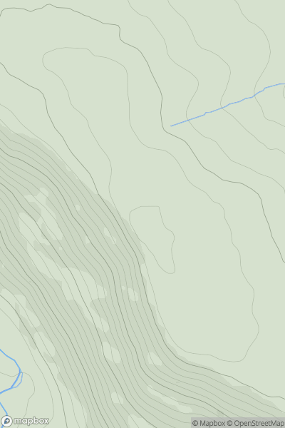
Ascents
North Pennines
0
475.0User Activity
No recent Activity
0
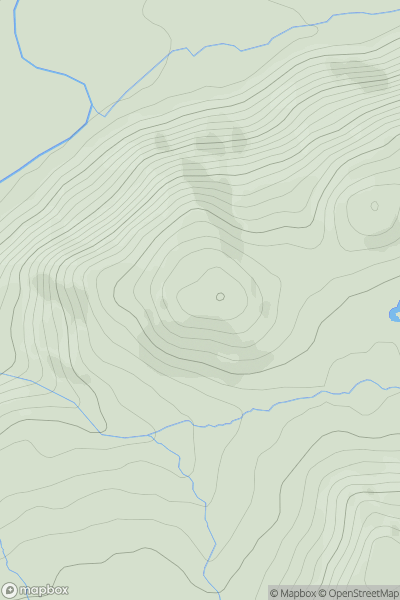
Ascents
Lake District S
0
259.0User Activity
No recent Activity
0
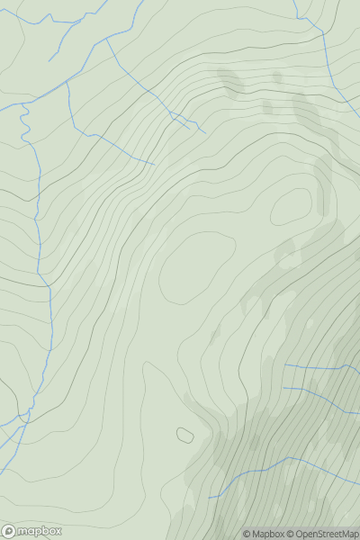
Ascents
Lake District E
0
542.0User Activity
No recent Activity
0
Ascents
South East England
0
127.0User Activity
No recent Activity
0
Ascents
Lake District N
0
600.0User Activity
No recent Activity