


0
Ascents

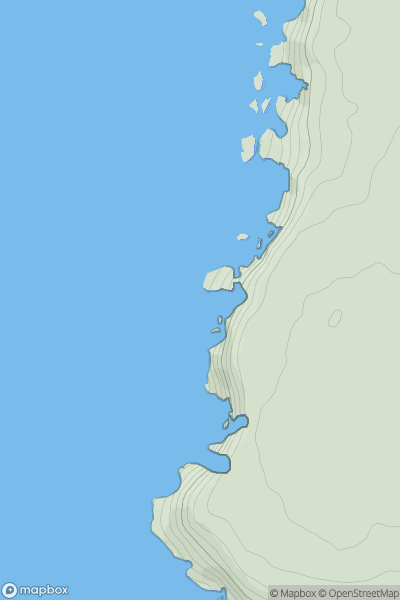
 South West England
 0
0 51.0
51.0User Activity
No recent Activity
0
Ascents
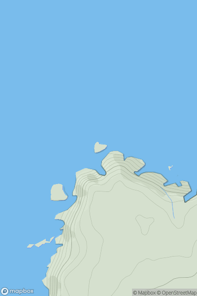
South West England
0
46.0User Activity
No recent Activity
![Thumbnail image for Aston Hill [Central and Eastern England] showing contour plot for surrounding peak](/static/img/mountains_img_db/17455_Aston_Hill_[Central_and_Eastern_England].png)
0
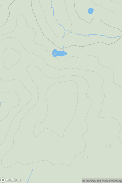
Ascents
Central and Eastern England
0
90.0User Activity
No recent Activity
0
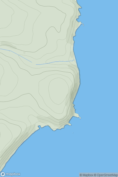
Ascents
Lancashire, Cheshire and S Pennines
0
248.0User Activity
No recent Activity
0
Ascents
South West England
0
82.5User Activity
No recent Activity
![Thumbnail image for Church Hill [Central and Eastern England] showing contour plot for surrounding peak](/static/img/mountains_img_db/19309_Church_Hill_[Central_and_Eastern_England].png)
0
Ascents
Central and Eastern England
0
164.0User Activity
No recent Activity