


0
Ascents

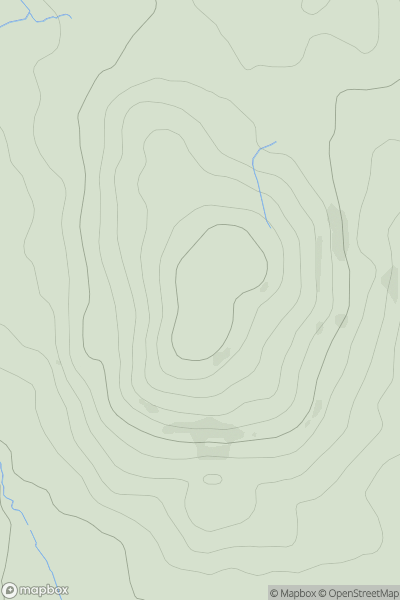
 Lake District E
 0
0 265.0
265.0User Activity
No recent Activity

0
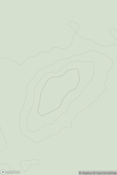
Ascents
Lake District S
0
343.0User Activity
No recent Activity
0
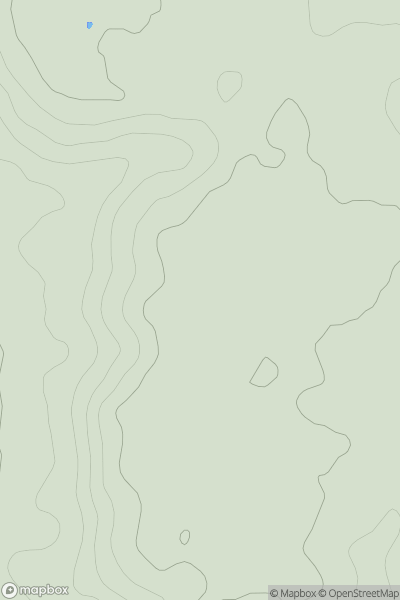
Ascents
Central and Eastern England
0
108.0User Activity
No recent Activity
0
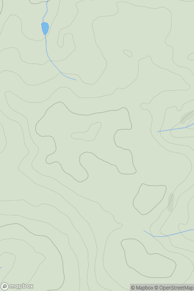
Ascents
Central and Eastern England
0
105.5User Activity
No recent Activity
0
Ascents
South West England
0
151.0User Activity
No recent Activity
0
Ascents
Central and Eastern England
0
235.0User Activity
No recent Activity