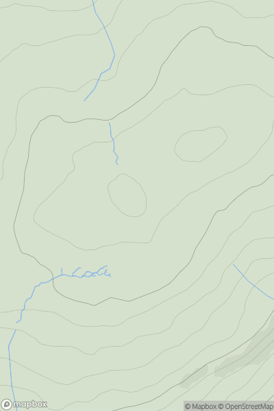
Ariel drone view of mountainous landscape with rolling clouds flowing over peak

Journal your hikes and share your adventures.

Bag peaks across the UK & Ireland, track your progress and see updates from Donder's growing community of hikers.

Donder's profile view available to users after sign-up, shows example user with progress tracking, hiking journal and user leaderboard

Thumbnail image for Ayle Common showing contour plot for surrounding peak
ENG
Icon of location pin
524m
Icon of vertical, double ended, arrow to symbolise height of mountain

Ayle Common

Icon of mountain used to symbolise the number of ascents made by users

0
Ascents

Thumbnail image for Clapton Hill showing contour plot for surrounding peak
ENG
Icon of location pin
221m
Icon of vertical, double ended, arrow to symbolise height of mountain

Clapton Hill

Icon of mountain used to symbolise the number of ascents made by users

0
Ascents

Thumbnail image for Blue Mountain showing contour plot for surrounding peak
ENG
Icon of location pin
156m
Icon of vertical, double ended, arrow to symbolise height of mountain

Blue Mountain

Icon of mountain used to symbolise the number of ascents made by users

0
Ascents

Thumbnail image for Thornemead Hill showing contour plot for surrounding peak
ENG
Icon of location pin
412m
Icon of vertical, double ended, arrow to symbolise height of mountain

Thornemead Hill

Icon of mountain used to symbolise the number of ascents made by users

0
Ascents

Thumbnail image for Lad Stones showing contour plot for surrounding peak
ENG
Icon of location pin
616m
Icon of vertical, double ended, arrow to symbolise height of mountain

Lad Stones

Icon of mountain used to symbolise the number of ascents made by users

0
Ascents

Thumbnail image for Naseby Hill showing contour plot for surrounding peak
ENG
Icon of location pin
197m
Icon of vertical, double ended, arrow to symbolise height of mountain

Naseby Hill

Icon of mountain used to symbolise the number of ascents made by users

0
Ascents