


0
Ascents

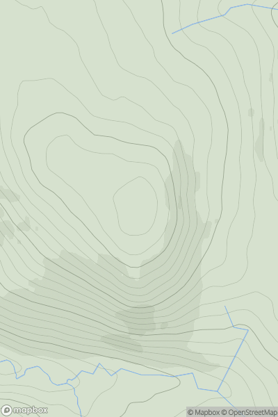
 Northumberland
 0
0 526.0
526.0User Activity
No recent Activity
0
Ascents
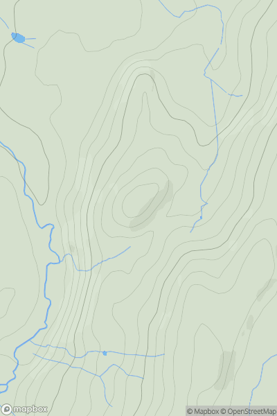
Shropshire
0
206.0User Activity
No recent Activity
0
Ascents
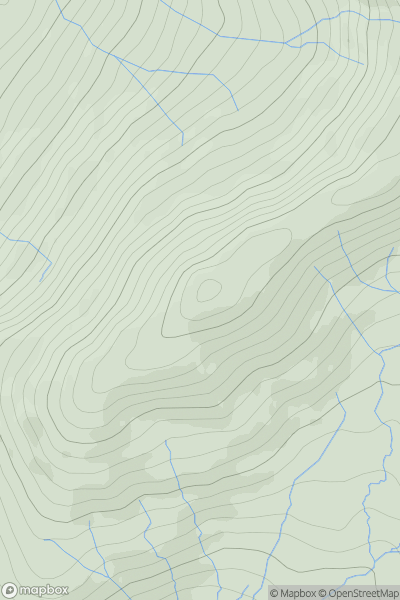
Lake District E
0
484.3User Activity
No recent Activity
0
Ascents
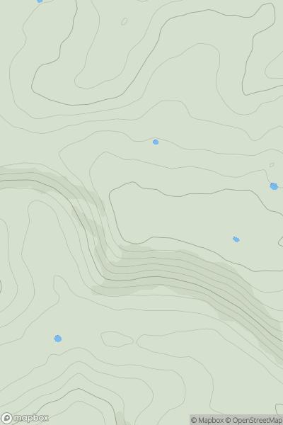
South Central England
0
258.0User Activity
No recent Activity
0
Ascents
The River Tees to The Wash
0
106.0User Activity
No recent Activity
0
Ascents
South Central England
0
75.0User Activity
No recent Activity