


0
Ascents

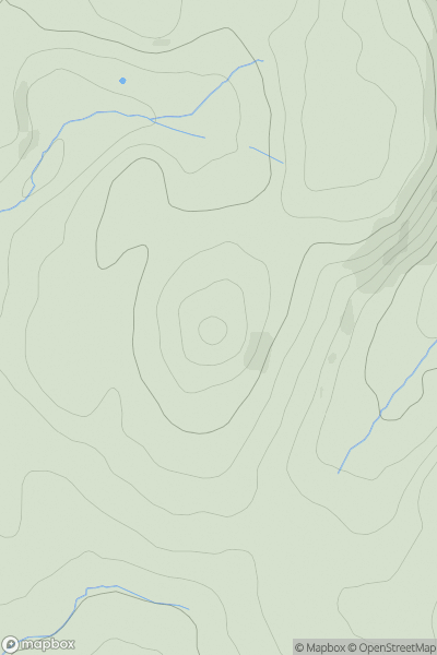
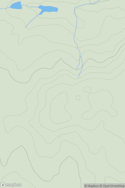
 South West England
 0
0 444.1
444.1User Activity
No recent Activity
0
Ascents
Lancashire, Cheshire and S Pennines
0
275.0User Activity
No recent Activity
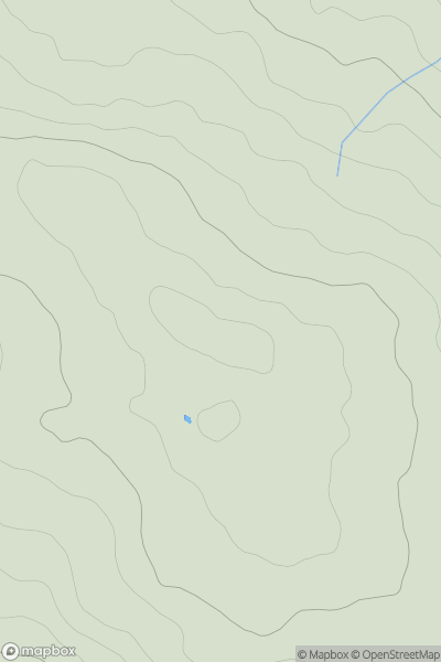
0
Ascents
North Pennines
0
137.8User Activity
No recent Activity
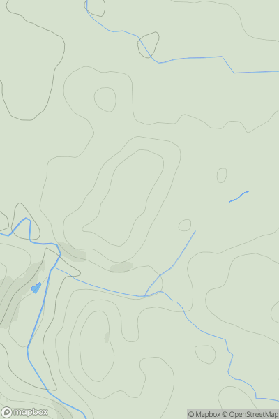
0
Ascents
South West England
0
167.0User Activity
No recent Activity
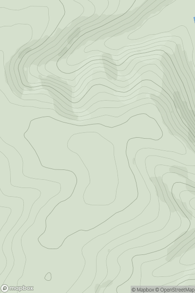
0
Ascents
Central and Eastern England
0
242.0User Activity
No recent Activity
0
Ascents
South East England
0
8.0User Activity
No recent Activity