


0
Ascents

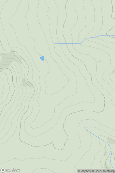
 North Pennines
 0
0 180.0
180.0User Activity
No recent Activity
0
Ascents
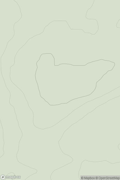
Lancashire, Cheshire and S Pennines
0
489.0User Activity
No recent Activity
0
Ascents
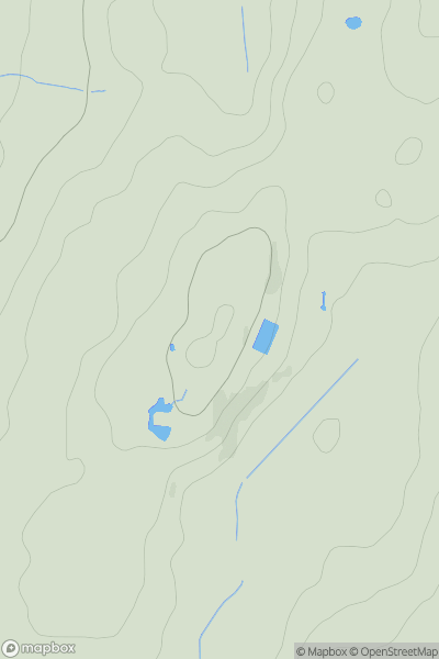
Northumberland
0
109.0User Activity
No recent Activity
0
Ascents
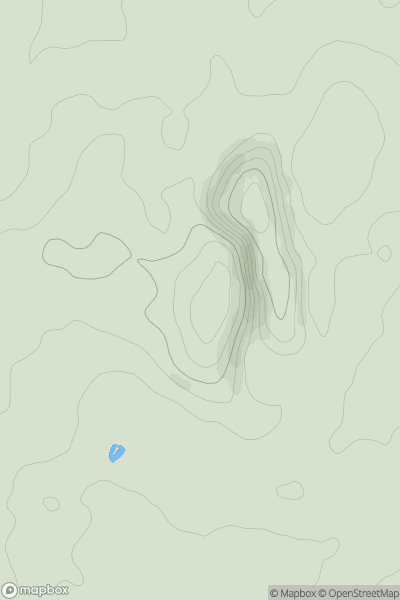
Lancashire, Cheshire and S Pennines
0
109.0User Activity
No recent Activity
0
Ascents
Central and Eastern England
0
126.3User Activity
No recent Activity
0
Ascents
South West England
0
47.0User Activity
No recent Activity