


0
Ascents

 Central and Eastern England
 0
0 18.0
18.0User Activity
No recent Activity
0
Ascents
South Central England
0
143.0User Activity
No recent Activity
0
Ascents
Lake District S
0
349.0User Activity
No recent Activity
0
Ascents
South East England
0
144.1User Activity
No recent Activity
0
Ascents
Lake District N
0
607.0User Activity
No recent Activity
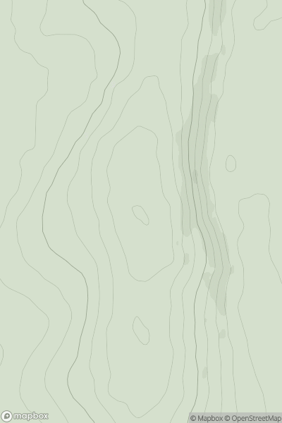
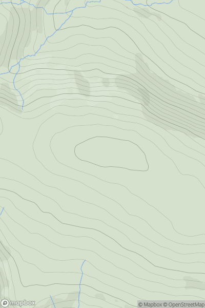
![Thumbnail image for Graig Hill [Shropshire] showing contour plot for surrounding peak](/static/img/mountains_img_db/16989_Graig_Hill_[Shropshire].png)
0
Ascents
Shropshire
0
371.0User Activity
No recent Activity