


0
Ascents

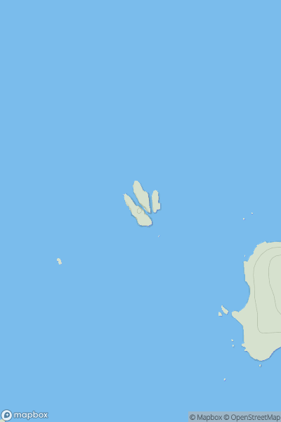
 South West England
 0
0 38.7
38.7User Activity
No recent Activity
0
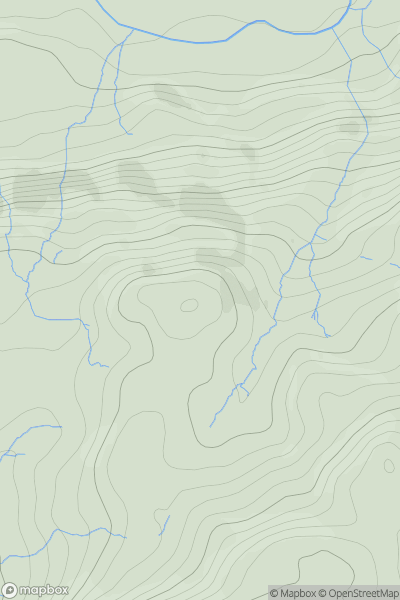
Ascents
Lake District S
0
328.0User Activity
No recent Activity
0
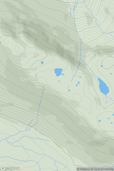
Ascents
Lake District C&W
0
545.0User Activity
No recent Activity
0
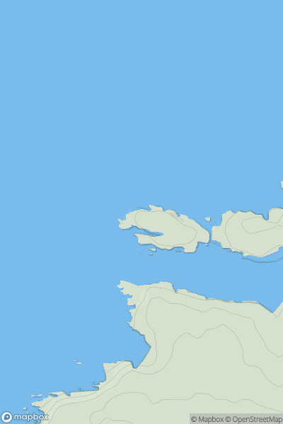
Ascents
South West England
0
31.8User Activity
No recent Activity
0
Ascents
Welsh Borders S
0
238.0User Activity
No recent Activity
0
Ascents
North Pennines
0
258.6User Activity
No recent Activity