


0
Ascents

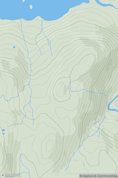
 Lake District C&W
 0
0 230.0
230.0User Activity
No recent Activity
0
Ascents
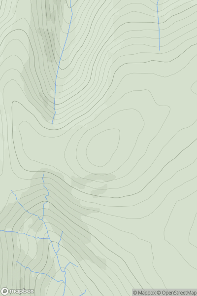
Northumberland
0
549.0User Activity
No recent Activity
0
Ascents
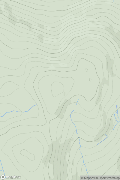
Central Pennines
0
430.0User Activity
No recent Activity
0
Ascents
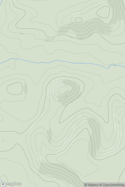
South Central England
0
98.0User Activity
No recent Activity
0
Ascents
South Central England
0
215.0User Activity
No recent Activity
0
Ascents
Shropshire
0
398.0User Activity
No recent Activity