


0
Ascents

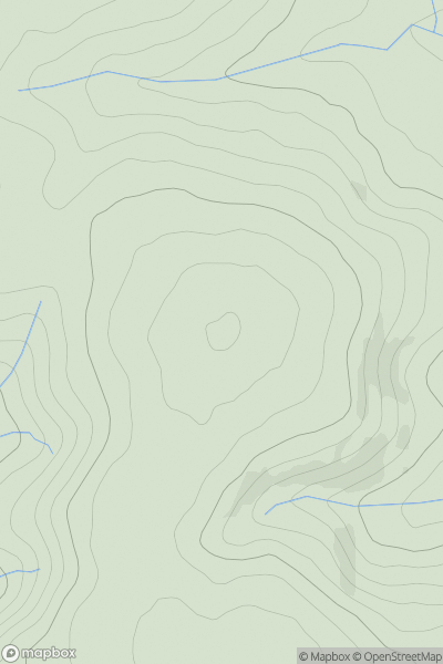
 Shropshire
 0
0 432.2
432.2User Activity
No recent Activity
0
Ascents
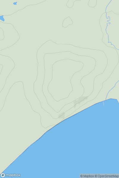
South Central England
0
49.9User Activity
No recent Activity
0
Ascents
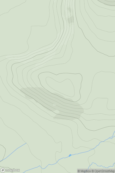
The River Tees to The Wash
0
225.2User Activity
No recent Activity
0
Ascents
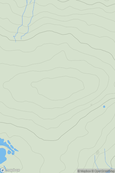
South West England
0
198.3User Activity
No recent Activity
0
Ascents
South West England
0
108.0User Activity
No recent Activity
0
Ascents
Northumberland
0
495.7User Activity
No recent Activity