


0
Ascents

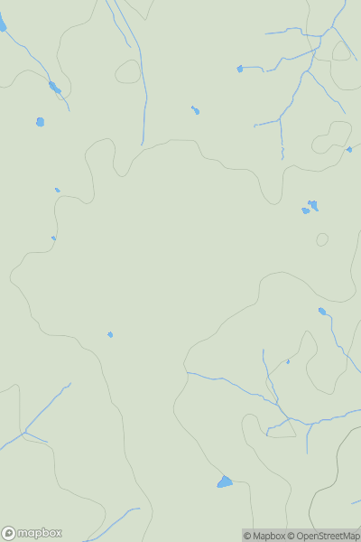
 South East England
 0
0 127.0
127.0User Activity
No recent Activity
0
Ascents
Central and Eastern England
0
236.0User Activity
No recent Activity
0
Ascents
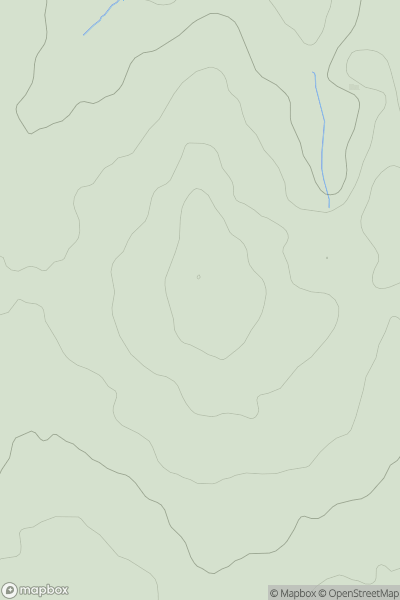
Lancashire, Cheshire and S Pennines
0
147.0User Activity
No recent Activity
0
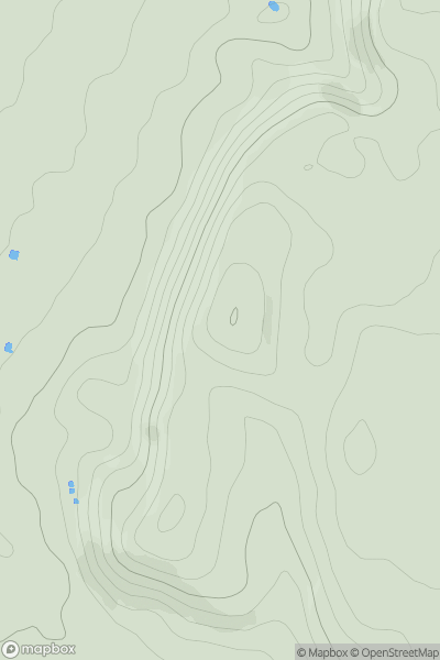
Ascents
Lancashire, Cheshire and S Pennines
0
396.0User Activity
No recent Activity
0
Ascents
South Central England
0
230.0User Activity
No recent Activity
0
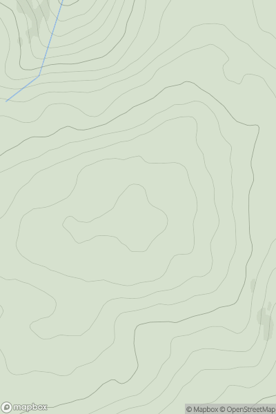
Ascents
Lake District N
0
616.0User Activity
No recent Activity