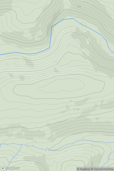
Ariel drone view of mountainous landscape with rolling clouds flowing over peak

Journal your hikes and share your adventures.

Bag peaks across the UK & Ireland, track your progress and see updates from Donder's growing community of hikers.

Donder's profile view available to users after sign-up, shows example user with progress tracking, hiking journal and user leaderboard

Thumbnail image for Bye Common showing contour plot for surrounding peak
ENG
Icon of location pin
366m
Icon of vertical, double ended, arrow to symbolise height of mountain

Bye Common

Icon of mountain used to symbolise the number of ascents made by users

0
Ascents

Thumbnail image for Greenheys showing contour plot for surrounding peak
ENG
Icon of location pin
115m
Icon of vertical, double ended, arrow to symbolise height of mountain

Greenheys

Icon of mountain used to symbolise the number of ascents made by users

0
Ascents

Thumbnail image for Pump Hill showing contour plot for surrounding peak
ENG
Icon of location pin
188m
Icon of vertical, double ended, arrow to symbolise height of mountain

Pump Hill

Icon of mountain used to symbolise the number of ascents made by users

0
Ascents

Thumbnail image for Peasley Bank showing contour plot for surrounding peak
ENG
Icon of location pin
165m
Icon of vertical, double ended, arrow to symbolise height of mountain

Peasley Bank

Icon of mountain used to symbolise the number of ascents made by users

0
Ascents

Thumbnail image for Rox Hill showing contour plot for surrounding peak
ENG
Icon of location pin
129m
Icon of vertical, double ended, arrow to symbolise height of mountain

Rox Hill

Icon of mountain used to symbolise the number of ascents made by users

0
Ascents

Thumbnail image for Rippon Tor showing contour plot for surrounding peak
ENG
Icon of location pin
476m
Icon of vertical, double ended, arrow to symbolise height of mountain

Rippon Tor

Icon of mountain used to symbolise the number of ascents made by users

0
Ascents