


0
Ascents

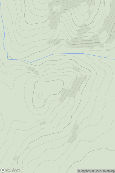
 Welsh Borders S
 0
0 156.0
156.0User Activity
No recent Activity
0
Ascents
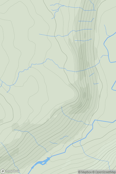
Lake District E
0
374.0User Activity
No recent Activity
0
Ascents
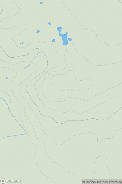
Lancashire, Cheshire and S Pennines
0
183.0User Activity
No recent Activity
0
Ascents
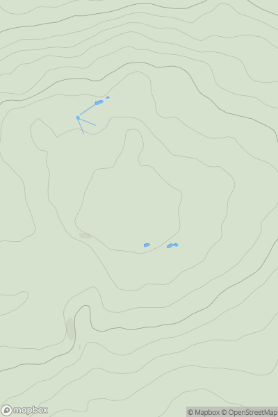
Lancashire, Cheshire and S Pennines
0
286.9User Activity
No recent Activity
0
Ascents
Central and Eastern England
0
184.0User Activity
No recent Activity
0
Ascents
South West England
0
94.4User Activity
No recent Activity