


0
Ascents

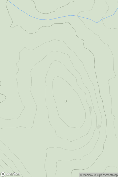
 South West England
 0
0 252.0
252.0User Activity
No recent Activity
0
Ascents
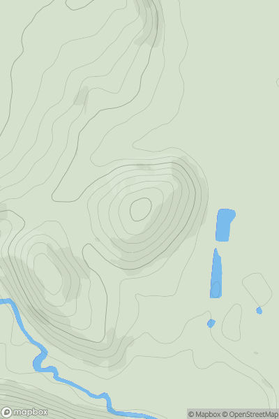
Welsh Borders S
0
197.0User Activity
No recent Activity
0
Ascents
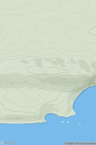
South Central England
0
168.0User Activity
No recent Activity
0
Ascents
South East England
0
7.0User Activity
No recent Activity
0
Ascents
South Central England
0
154.0User Activity
No recent Activity
0
Ascents
Lancashire, Cheshire and S Pennines
0
223.7User Activity
No recent Activity