


0
Ascents

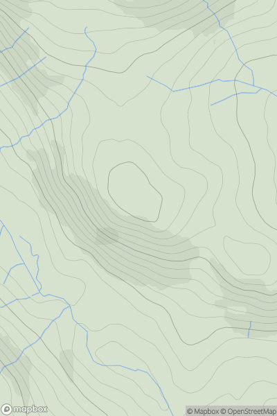
 Lake District E
 0
0 367.0
367.0User Activity
No recent Activity
0
Ascents
South West England
0
155.0User Activity
No recent Activity
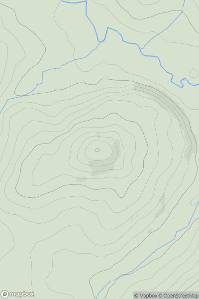
0
Ascents
Northumberland
0
219.0User Activity
No recent Activity
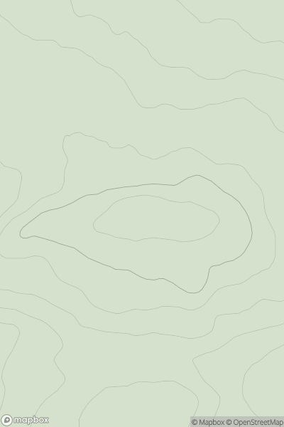
0
Ascents
Lake District C&W
0
393.8User Activity
No recent Activity
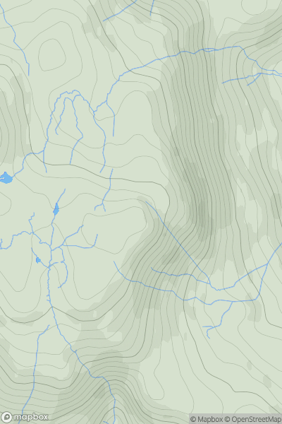
0
Ascents
Lake District C&W
0
423.0User Activity
No recent Activity
0
Ascents
South West England
0
460.0User Activity
No recent Activity