


0
Ascents

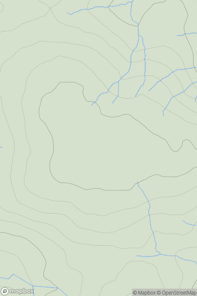
 Northumberland
 0
0 510.4
510.4User Activity
No recent Activity
0
Ascents
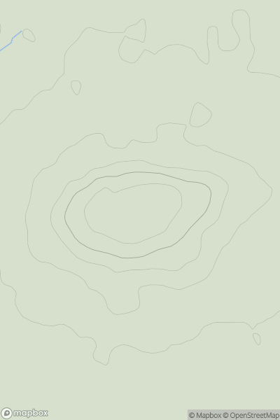
Central and Eastern England
0
115.0User Activity
No recent Activity
0
Ascents
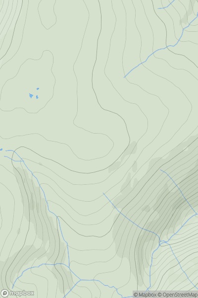
Lake District E
0
662.0User Activity
No recent Activity
0
Ascents
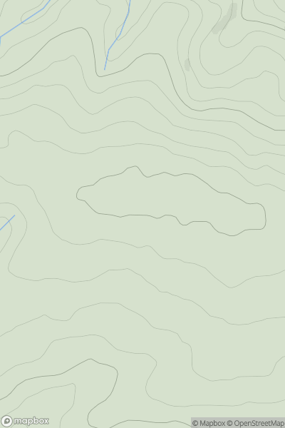
South West England
0
205.0User Activity
No recent Activity
0
Ascents
South Central England
0
391.0User Activity
No recent Activity
0
Ascents
North Pennines
0
413.7User Activity
No recent Activity