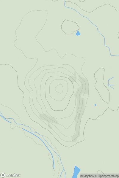
Ariel drone view of mountainous landscape with rolling clouds flowing over peak

Journal your hikes and share your adventures.

Bag peaks across the UK & Ireland, track your progress and see updates from Donder's growing community of hikers.

Donder's profile view available to users after sign-up, shows example user with progress tracking, hiking journal and user leaderboard

Thumbnail image for Bleak Hill showing contour plot for surrounding peak
ENG
Icon of location pin
281m
Icon of vertical, double ended, arrow to symbolise height of mountain

Bleak Hill

Icon of mountain used to symbolise the number of ascents made by users

0
Ascents

Thumbnail image for Bilberry Knoll showing contour plot for surrounding peak
ENG
Icon of location pin
282m
Icon of vertical, double ended, arrow to symbolise height of mountain

Bilberry Knoll

Icon of mountain used to symbolise the number of ascents made by users

0
Ascents

Thumbnail image for Haydon Hill showing contour plot for surrounding peak
ENG
Icon of location pin
282m
Icon of vertical, double ended, arrow to symbolise height of mountain

Haydon Hill

Icon of mountain used to symbolise the number of ascents made by users

0
Ascents

Thumbnail image for Ridley Bank showing contour plot for surrounding peak
ENG
Icon of location pin
125m
Icon of vertical, double ended, arrow to symbolise height of mountain

Ridley Bank

Icon of mountain used to symbolise the number of ascents made by users

0
Ascents

Thumbnail image for Chinthurst Hill showing contour plot for surrounding peak
ENG
Icon of location pin
121m
Icon of vertical, double ended, arrow to symbolise height of mountain

Chinthurst Hill

Icon of mountain used to symbolise the number of ascents made by users

0
Ascents

Thumbnail image for Seatallan showing contour plot for surrounding peak
ENG
Icon of location pin
692m
Icon of vertical, double ended, arrow to symbolise height of mountain

Seatallan

Icon of mountain used to symbolise the number of ascents made by users

0
Ascents