


0
Ascents

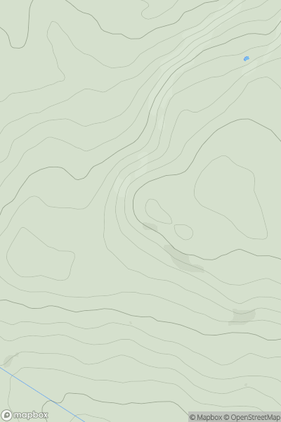
 Lancashire, Cheshire and S Pennines
 0
0 365.0
365.0User Activity
No recent Activity
0
Ascents
Lancashire, Cheshire and S Pennines
0
226.0User Activity
No recent Activity
0
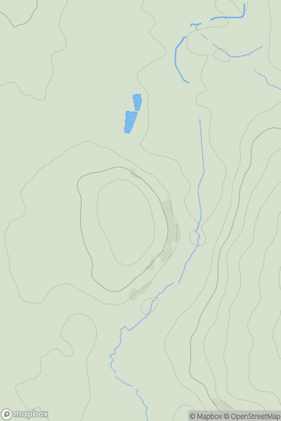
Ascents
Northumberland
0
280.1User Activity
No recent Activity
0
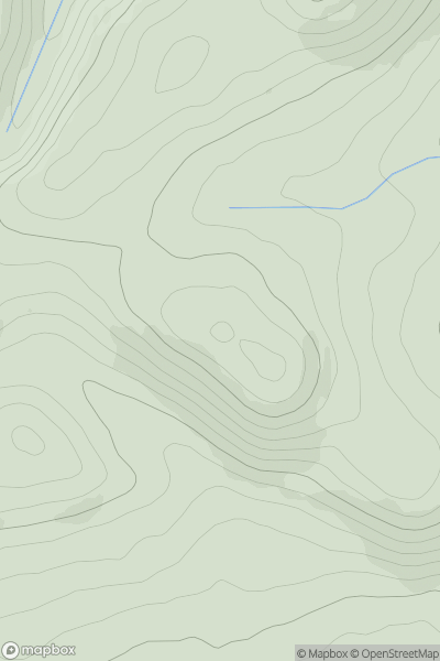
Ascents
Lancashire, Cheshire and S Pennines
0
367.5User Activity
No recent Activity
0
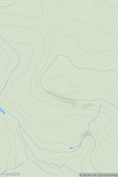
Ascents
Lake District E
0
474.0User Activity
No recent Activity
0
Ascents
Lancashire, Cheshire and S Pennines
0
48.0User Activity
No recent Activity