


0
Ascents

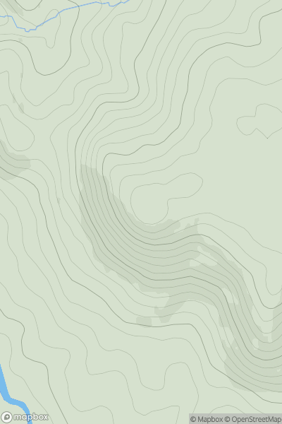
 Welsh Borders S
 0
0 236.3
236.3User Activity
No recent Activity
0
Ascents
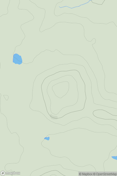
Central and Eastern England
0
224.3User Activity
No recent Activity
0
Ascents
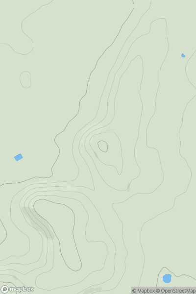
Shropshire
0
157.0User Activity
No recent Activity
0
Ascents
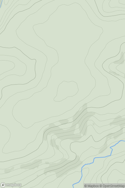
South West England
0
233.0User Activity
No recent Activity
0
Ascents
South East England
0
97.7User Activity
No recent Activity
0
Ascents
South Central England
0
191.0User Activity
No recent Activity