


0
Ascents

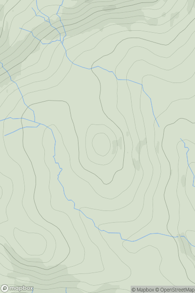
 Central and Eastern England
 0
0 205.0
205.0User Activity
No recent Activity
0
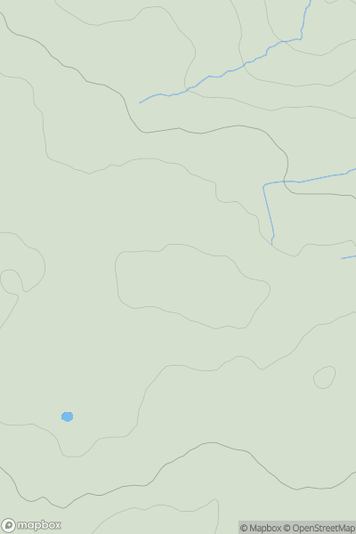
Ascents
Lake District E
0
331.0User Activity
No recent Activity
0
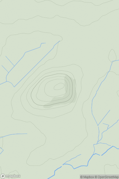
Ascents
Lancashire, Cheshire and S Pennines
0
225.0User Activity
No recent Activity
0
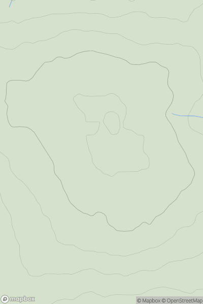
Ascents
South Central England
0
85.0User Activity
No recent Activity
0
Ascents
South West England
0
264.0User Activity
No recent Activity
0
Ascents
Lake District N
0
633.0User Activity
No recent Activity