


0
Ascents

 South East England
 0
0 156.0
156.0User Activity
No recent Activity
0
Ascents
South West England
0
254.0User Activity
No recent Activity
0
Ascents
Shropshire
0
412.3User Activity
No recent Activity

0
Ascents
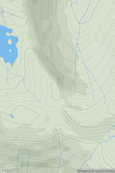
Lake District E
0
541.0User Activity
No recent Activity
0
Ascents
Central and Eastern England
0
39.0User Activity
No recent Activity
0
Ascents
Lake District E
0
570.0User Activity
No recent Activity