


0
Ascents

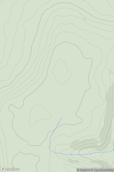
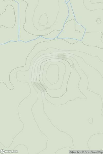
 South West England
 0
0 211.0
211.0User Activity
No recent Activity
0
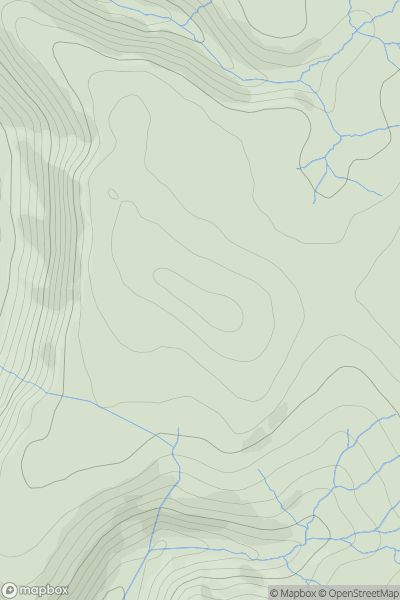
Ascents
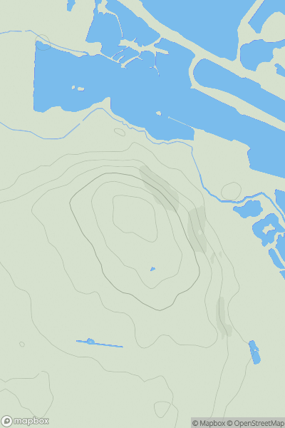
Lancashire, Cheshire and S Pennines
0
446.0User Activity
No recent Activity
0
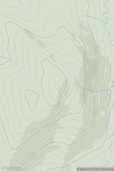
Ascents
Lancashire, Cheshire and S Pennines
0
373.0User Activity
No recent Activity
0
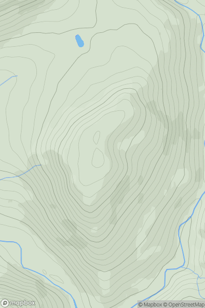
Ascents
Lancashire, Cheshire and S Pennines
0
395.0User Activity
No recent Activity
0
Ascents
Lake District S
0
178.0User Activity
No recent Activity
0
Ascents
South East England
0
69.0User Activity
No recent Activity