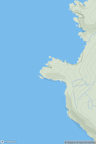
Ariel drone view of mountainous landscape with rolling clouds flowing over peak

Journal your hikes and share your adventures.

Bag peaks across the UK & Ireland, track your progress and see updates from Donder's growing community of hikers.

Donder's profile view available to users after sign-up, shows example user with progress tracking, hiking journal and user leaderboard

Thumbnail image for Ripley showing contour plot for surrounding peak
ENG
Icon of location pin
158m
Icon of vertical, double ended, arrow to symbolise height of mountain

Ripley

Icon of mountain used to symbolise the number of ascents made by users

0
Ascents

Thumbnail image for Gib showing contour plot for surrounding peak
ENG
Icon of location pin
275m
Icon of vertical, double ended, arrow to symbolise height of mountain

Gib

Icon of mountain used to symbolise the number of ascents made by users

0
Ascents

Thumbnail image for Ringwood Road showing contour plot for surrounding peak
ENG
Icon of location pin
65m
Icon of vertical, double ended, arrow to symbolise height of mountain

Ringwood Road

Icon of mountain used to symbolise the number of ascents made by users

0
Ascents

Thumbnail image for Couple Cross Hill showing contour plot for surrounding peak
ENG
Icon of location pin
344m
Icon of vertical, double ended, arrow to symbolise height of mountain

Couple Cross Hill

Icon of mountain used to symbolise the number of ascents made by users

0
Ascents

Thumbnail image for Cape Cornwall showing contour plot for surrounding peak
ENG
Icon of location pin
64m
Icon of vertical, double ended, arrow to symbolise height of mountain

Cape Cornwall

Icon of mountain used to symbolise the number of ascents made by users

0
Ascents

Thumbnail image for Copperthorn Cross showing contour plot for surrounding peak
ENG
Icon of location pin
163m
Icon of vertical, double ended, arrow to symbolise height of mountain

Copperthorn Cross

Icon of mountain used to symbolise the number of ascents made by users

0
Ascents